
Albtrauf
The 200-kilometer-long rocky edge that separates the rugged high plateau from the gentle Alb foothills rises up to 1,000 meters.
Much more beautiful than admiring the mighty elevation in the blue of the distance is to take the Albtrauf under your feet. The unique plateau with its typical lime beech forests, juniper heaths and flower meadows is a paradise for hikers. From countless viewing balconies and pulpits on the steep escarpment, breathtaking 180-degree panoramas open up with rock towers, valleys, witness mountains, castles and the plain of the Alb foreland. Some of these "princely lodges" are almost still an insider tip, others are popular destinations for excursions. Also the long-distance hiking trail Albsteig leads along the spectacular Albtrauf edge again and again.
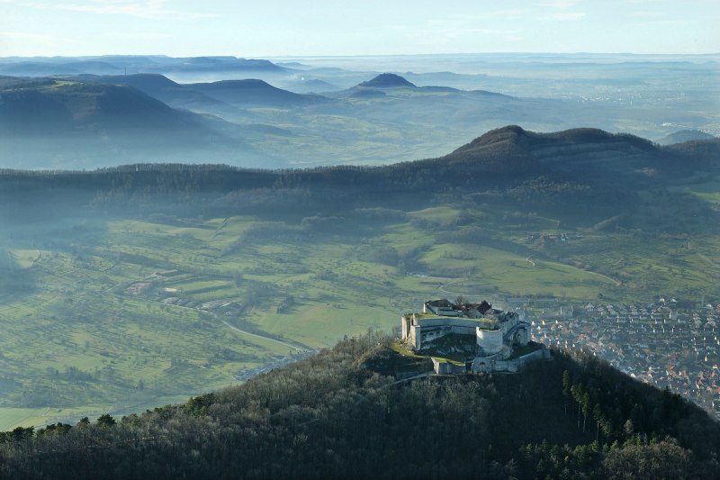
In mystical blue and green light lies the castle ruin Hohenneuffen in front of the Albtrauf.
© Manfred Grohe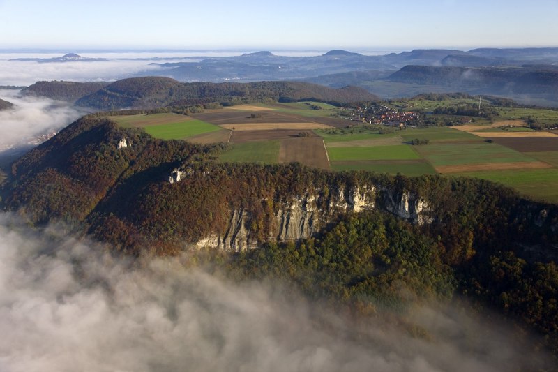
Autumn Albtrauf with Drei Kaiserberge.
© Schwäbische Alb Tourismus Foto: Achim Mende
View to the Tieringer Hörnle and to the Plettenberg.
© Schwäbische Alb Tourismus, Fotograf: Achim Mende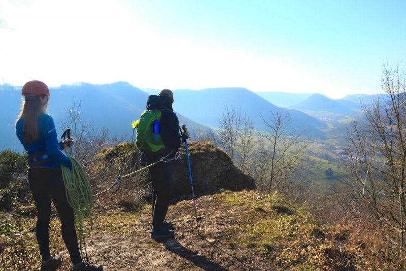
Rope team hiker on the Albtrauf near Geislingen an der Steige-Türkheim.
© Schwäbische Alb Tourismus, Fotograf: Miriam Gairing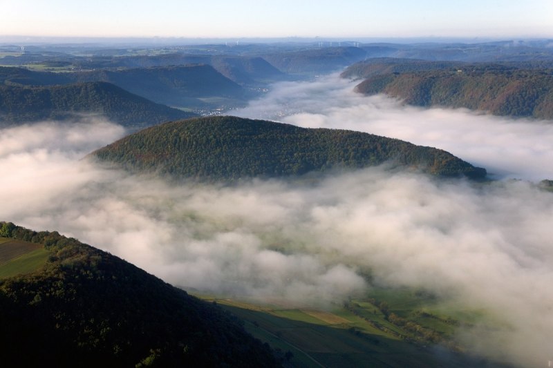
Albtrauf with fog.
© Schwäbische Alb Tourismus, Foto: Achim Mende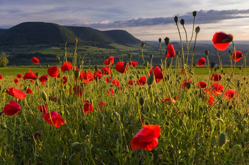
Poppy field in front of the Albtrauf.
© Schwäbische Alb Tourismus, Foto: Wolfgang Trust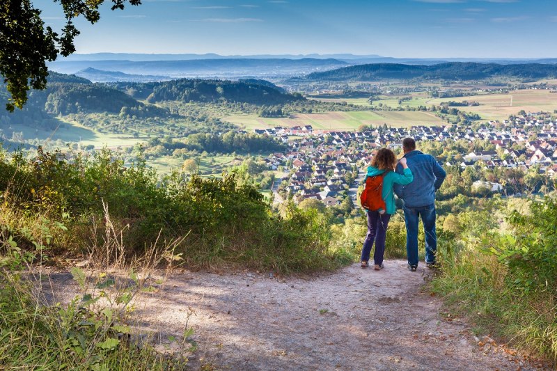
Schönbuchtrauf with view to the Albtrauf.
© © Landkreis Tübingen, Foto: Angela Hammer